Avalanche Weekly Summary - November 14, 2024
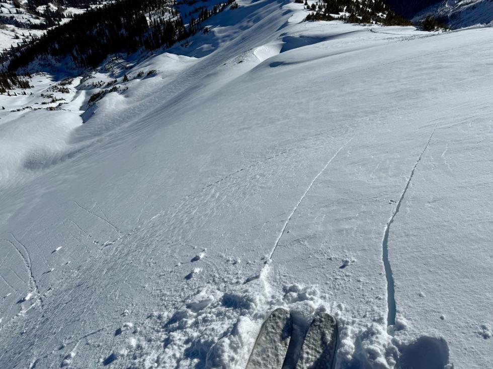
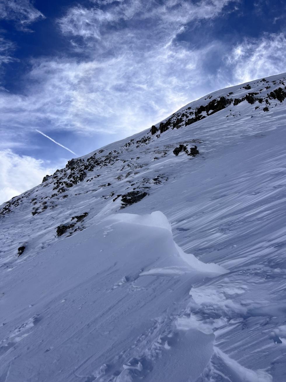
In the Northern Mountains, a quick-moving storm dropped 3 to 7 inches of snow on Tuesday night during what was otherwise a dry week. Strong westerly winds at the start of the storm formed small slabs of wind-drifted snow, particularly in alpine gullies and slopes near ridgelines. A few avalanches were observed in this drifted snow on Thursday. Although observers are finding a layer of weak, faceted snow near the ground in the Tenmile and Gore Ranges, no avalanches were reported on this layer over the past week.
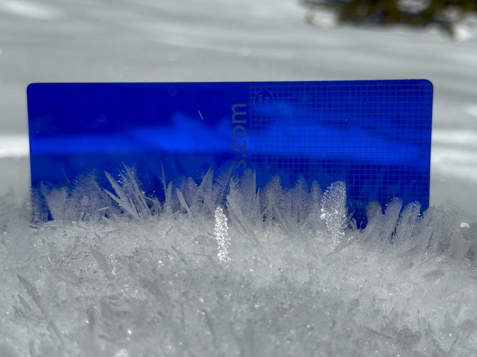
In the Central Mountains, several small avalanches ran during the pre-storm winds on Tuesday. Tuesday night, 2 to 7 inches of snow fell, favoring the West Elk Mountains. The snowpack remains thin and soft across the Central Mountains at lower elevations. Faceted snow crystals are forming on and near the snow surface, setting up future weak layers.
In the Southern Mountains, two skiers were caught in a small Wind Slab avalanche near Trico Peak in the first reported incident of the season on November 9. Tuesday night’s snowfall ranged from 1 to 7 inches, with the highest amounts around Red Mountain Pass. New snow and strong southwest wind triggered several small wind slab avalanches. So far this season, avalanches have been small and relatively isolated to steep north and east-facing alpine slopes.
As we head into the weekend, strong winds will increase the avalanche danger to MODERATE in many places across the state. Small Wind Slab avalanches are likely in drifted areas at upper elevations, especially on north and east-facing slopes. Look for signs of wind-drifted snow on steep slopes, especially near ridgelines, and remember that even small avalanches can be dangerous in consequential terrain. This weakening (faceting) snowpack will be a problem the next time we receive a big storm. Get the latest forecast for the most up-to-date information.


