Avalanche Weekly Summary - February 6, 2025
Northern Mountains
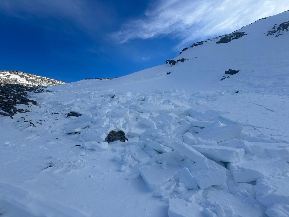
The Park Range picked up 10 to 18 inches of snow e last weekend, with 8 to 12 inches in parts of the northern Front Range. Most other areas received just an inch or two. Strong winds accompanied the storm and have persisted under the jet stream. The weather this week has been mild. Avalanche activity has been minimal with 23 reported avalanches—half of them wet. The only two large (D2) slides were also wet avalanches. One skier was caught and carried in a small slide on Ptarmigan Hill near Vail Pass but was not buried or injured.
Central Mountains
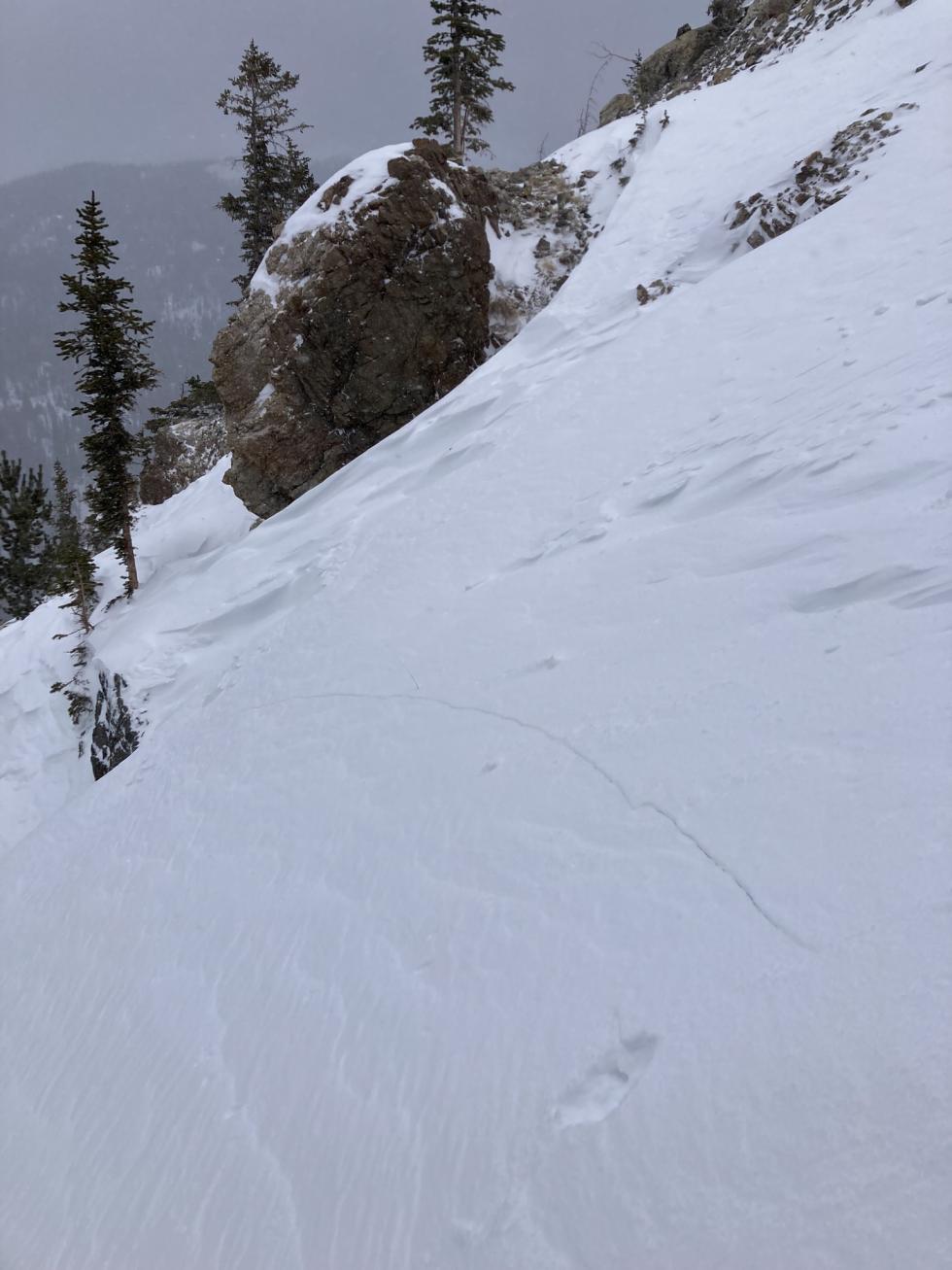
The Central Mountains continue to see record-high temperatures and historically poor snowfall, with a weak storm last weekend and a mid-week system that failed to deliver. Schofield SNOTEL reports the second driest winter since 2015. The warm-up triggered 40 wet avalanches—mostly Loose Wet, with a few Wet Slabs. Last Friday, a notable D2 Loose Dry avalanche highlighted the weak snowpack before conditions warmed and decreased the chance of these types of avalanches. In another incident, a backcountry skier got caught and carried near Aspen, underscoring the main concern: slab avalanches on isolated, wind-loaded slopes despite the LOW danger rating.
Southern Mountains
The Southern Mountains saw a weak storm late last week, bringing 5 to 7 inches of snow to the northwest San Juan Mountains, with little to no accumulation farther south and east. Since then, unseasonably warm temperatures—10 to15°F above normal—have dominated. Warm temperatures triggered widespread wet avalanche activity, including 23 wet slides that impacted Highway 550 on Sunday, February 2. Slumgullion, Blue Canyon, and North Canyon also saw wet activity, though road impacts were minimal. While strong winds kept alpine terrain cooler, wet avalanches were prevalent in the backcountry near and below treeline, particularly in the northwest San Juan Mountains.
Heading Into the Weekend
We are in store for another small storm favoring the Northern Mountains, with minimal snow forecast for the Central Mountains. The snow comes in with strong winds, so any area that gets around 6 inches or more of snow will see a rise in avalanche danger due to Wind Slab avalanches. The Park Range will see the highest snow totals and potentially the biggest rise in avalanche danger. The Southern Mountains, unfortunately, are in for more warm and windy weather. No matter the danger rating, stay alert for wind-drifted slabs, both new and old, especially in steep terrain.